Asset Creation and Updating
Objective: Gain an understanding of how to create and update Assets using the Mobility app.
Prerequisites: In order to create or update Assets using the mobile app, users require a User Role with sufficient permissions to update Asset records.
The Assetic Mobility app provides functionality for field users with appropriate permissions to both create new Assets, and update key information about existing Assets.
Asset Creation
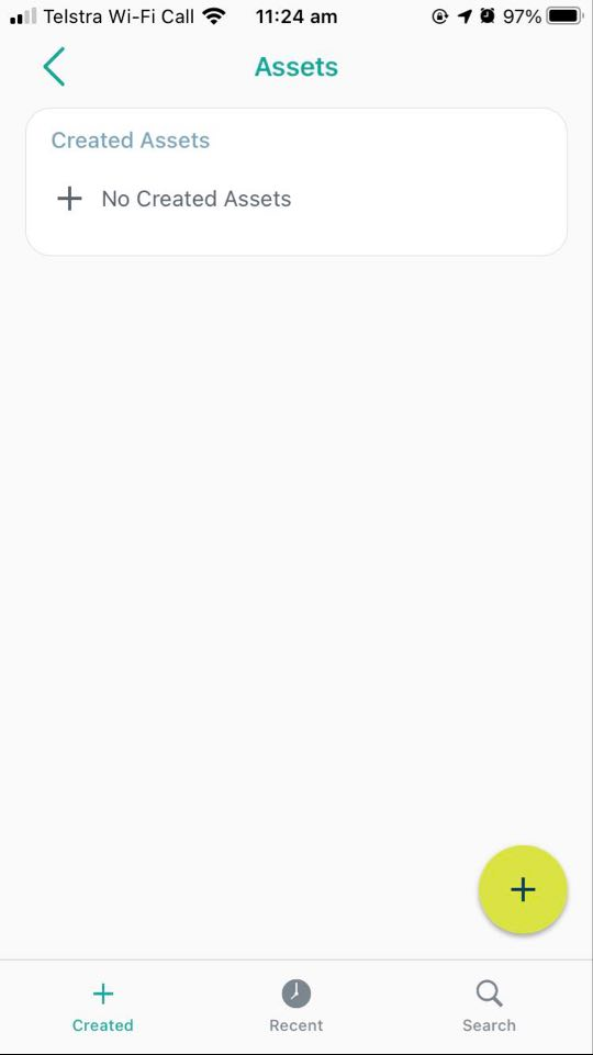
To create a new Asset, select "Assets" from the sidebar menu, and then press the plus button.
The following fields are then available when creating the Asset:
-
Asset Name
-
Asset Category
-
Criticality
-
Asset Class
-
Asset Sub-Class
-
Asset Type
-
Asset Sub-Type
-
Maintenance Type
-
Maintenance Sub-Type
-
Work Group
NOTE Notice that the Asset ID is not available - Asset creation by mobile users requires that AutoID generation be enabled for the Asset Category.
These listed fields are only available when creating an Asset, and cannot be modified after creation by mobile users. Once created, the Asset will stay on the 'Created' tab, and can be removed from that tab by the field user, but cannot be deleted from the system fully.
The various other Asset Attribute fields are not available in the field and must be populated via the browser.
Users can also create Assets using the duplicate function, which is available in the top right when viewing an Asset:
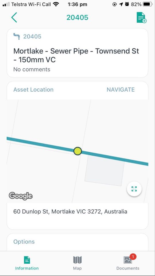
This will open the Asset creation process, with fields pre-populated based on the initial Asset.
Asset Updating
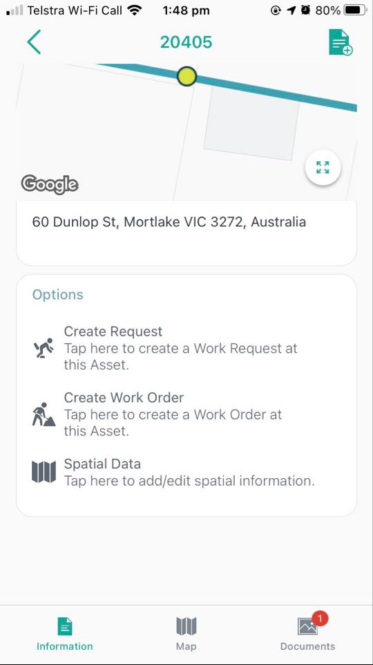
Mobile users are able to modify some key information about Assets while in the field. Specifically, the following is possible:
New Documents can be added, and existing Documents can be edited or deleted.
New Spatial data can be added, or the existing Asset Spatial data edited.
To add or edit Documents, users can select the Documents tab. To add or modify Spatial data, users can scroll down on the Asset information tab, and select 'Spatial Data'.
Spatial Asset Colours
In the map view, assets with line and polygon shapes will display with distinct colours for the following Asset Catalogues:
-
Stormwater
-
Transport Infrastructure
-
Sewer
-
Road Infrastructure
-
Water
-
Electrical Transmission
-
Civil Infrastructure
-
Land and Property
-
Open space
-
Buildings and Facilities
